Hedayat Explorer
Complete Geophysical Exploration & Sub-Surface Intelligence Software
An all-in-one platform for magnetic, GPR, satellite and DEM surveys — from raw field data to 3D sub-surface models and shareable targets.
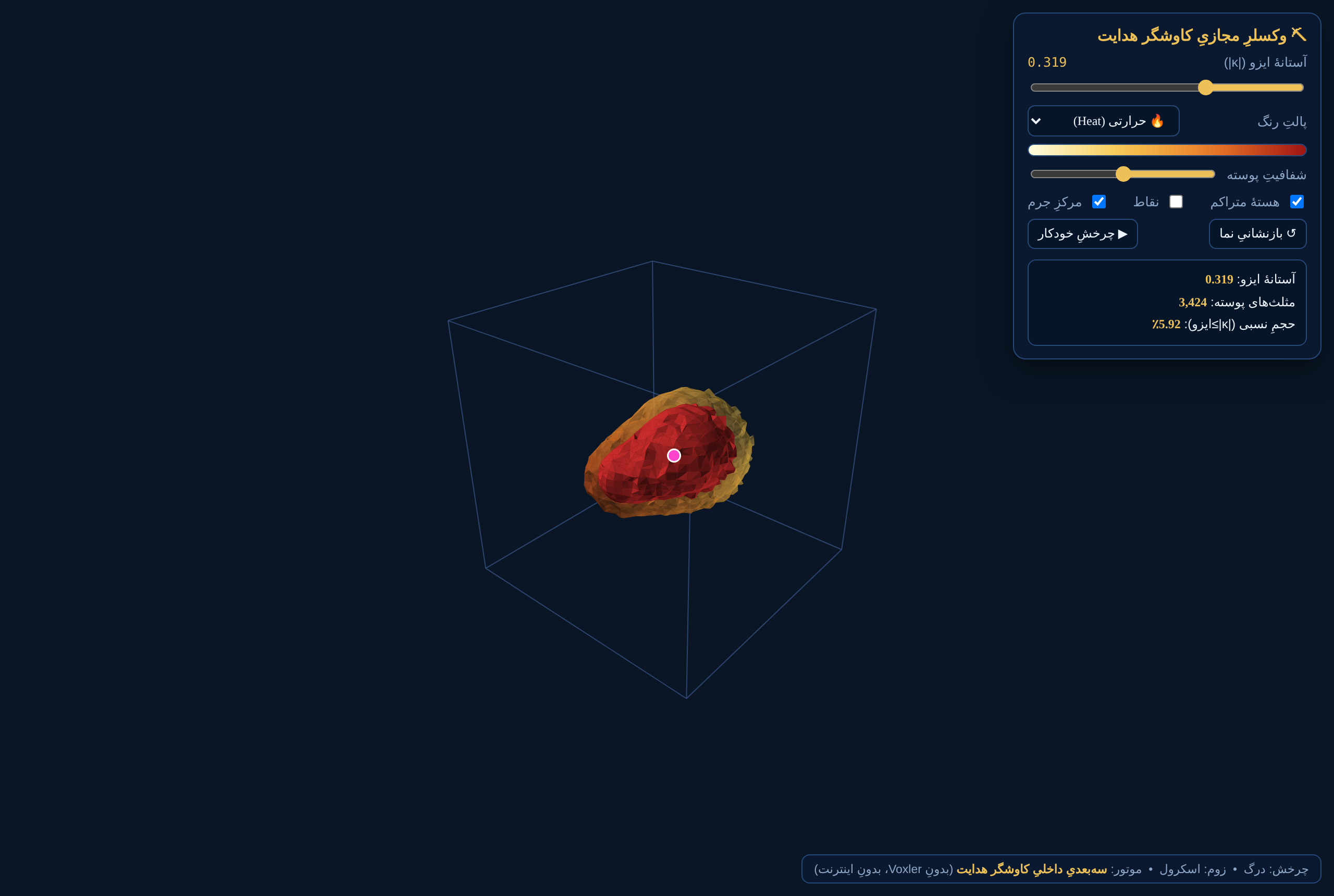 3D Visualization Engine
Core Technologies
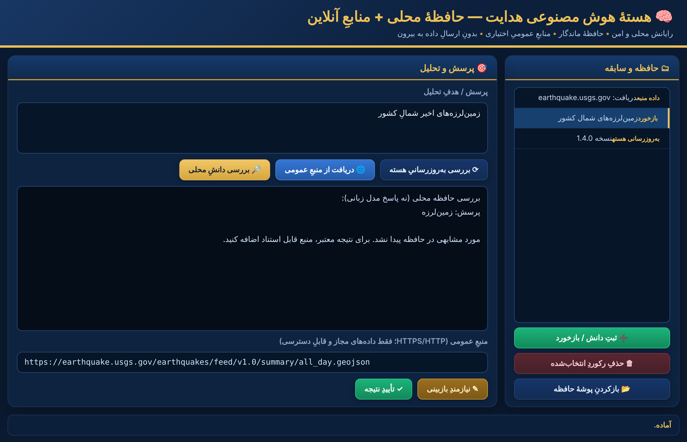
AI Intelligence
Local-memory AI core with expert feedback, permitted-source retrieval and verified core updates.
In DevelopmentSmart Scan Analysis
Automated target detection, depth from an excavation library, edge & saturation warnings.
AvailableSatellite Remote Sensing
Multi-scale imagery analysis with strict CRS/geodetic control (fail-closed).
AvailableGPR Processing
Radargram processing and 2D/voxel export for shallow sub-surface mapping.
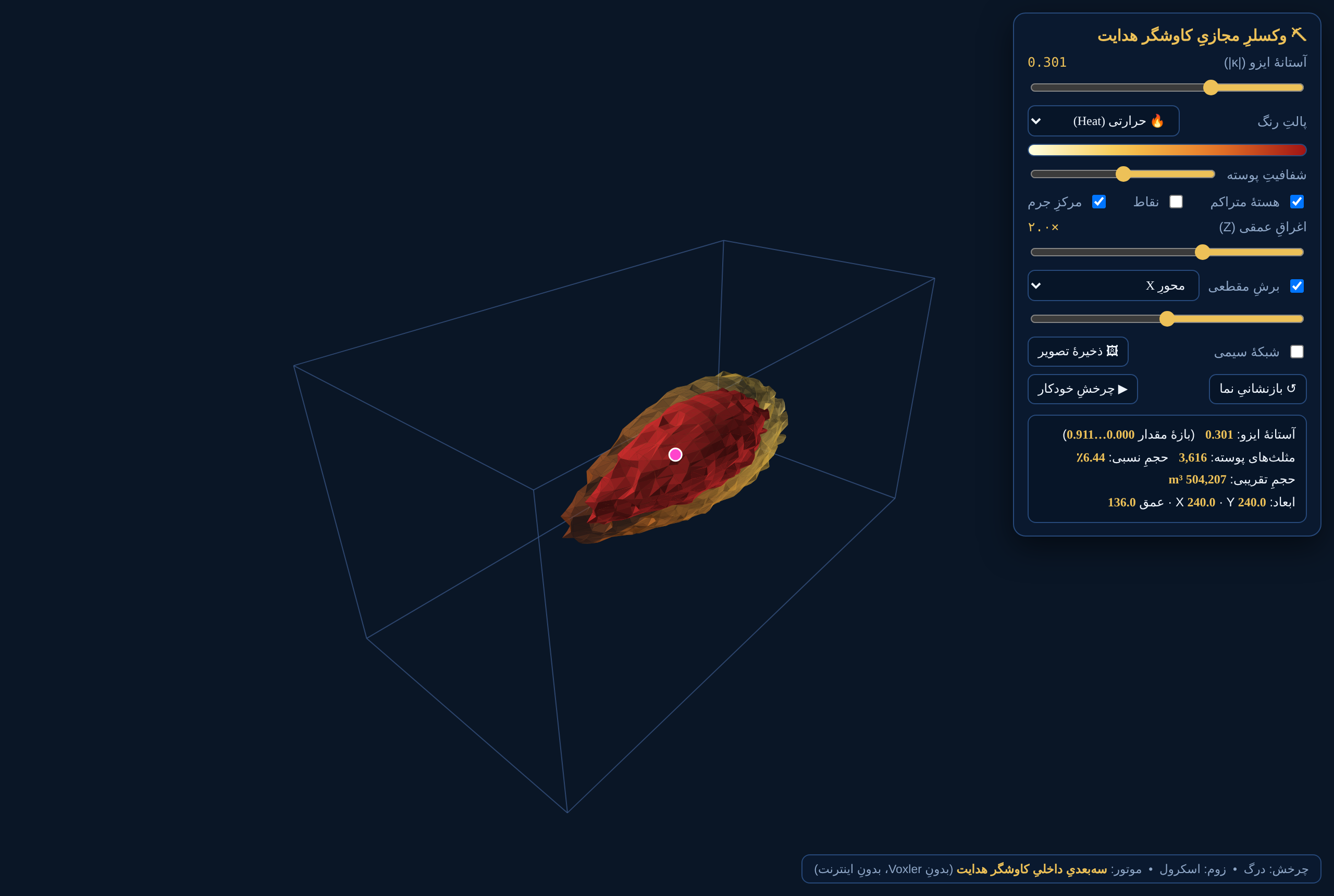
Available3D Visualization Engine
Self-contained Marching-Cubes isosurface engine — offline, no third-party software.
AvailableDEM Intelligence
UAV micro-topography, hillshade and local-relief enhancement.
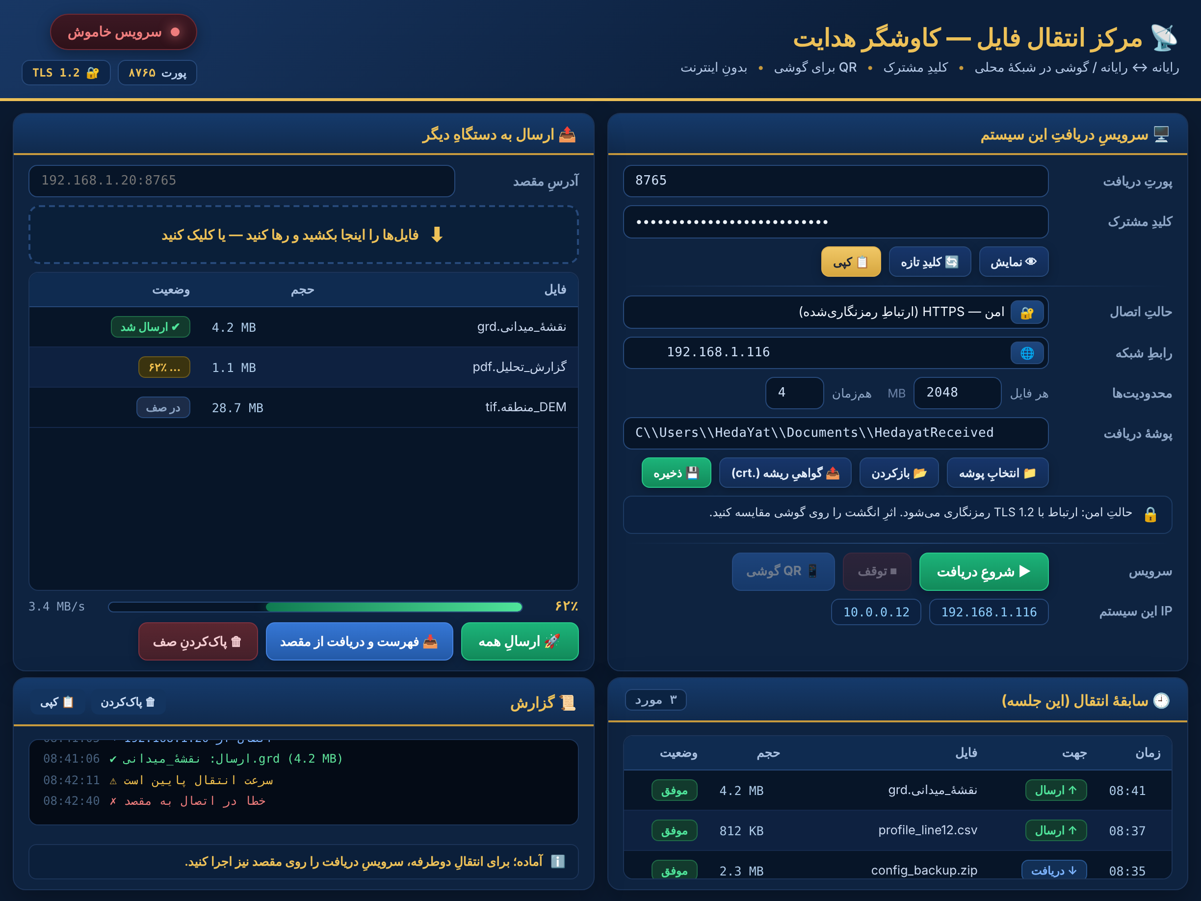
AvailableMulti-Device Integration
Magnetometers, UAVs, ground scanners and secure PC↔phone transfer.
AvailableLive Scanner
Real-time acquisition and visualization during field operation.
AvailableCustom Software for Your Business
From idea to delivery, we design tailored software for organizations across industries — business systems, data platforms, automation, scientific tools and AI-assisted solutions. Features, workflows and visual identity can be tailored to your organization.
All projects are subject to feasibility, security, scope and acceptance criteria.
Competitive Advantages
3D with zero dependency
Built-in isosurface engine — offline, no Voxler or internet needed.
Unified multi-sensor
Magnetic, GPR, satellite and DEM in one platform.
Secure & offline
TLS 1.2 transfer, fully field-operational offline.
35+ languages
Full multilingual UI with RTL and LTR.
14-step engine
Proprietary, repeatable filter chain.
OEM-ready
Embeddable in your scanner hardware.
Inside the Software
Ready for international partnership
Contact us for a live demo or a business partnership.